Advancing aerial intelligence

Comprehensive unmanned aerial services for commercial and public-sector requirements. From precision surveys through to complex data processing, our capabilities provide engineering-grade results.

Delivering discreet leading-edge UAS solutions
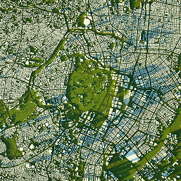
Your partner in flight

Sentinel Flight Services was founded by aviation and defence specialists with a proven track record of excellence in complex operational environments.

Flight Operations

Aerial mapping, surveys, intelligence gathering & thermal imaging
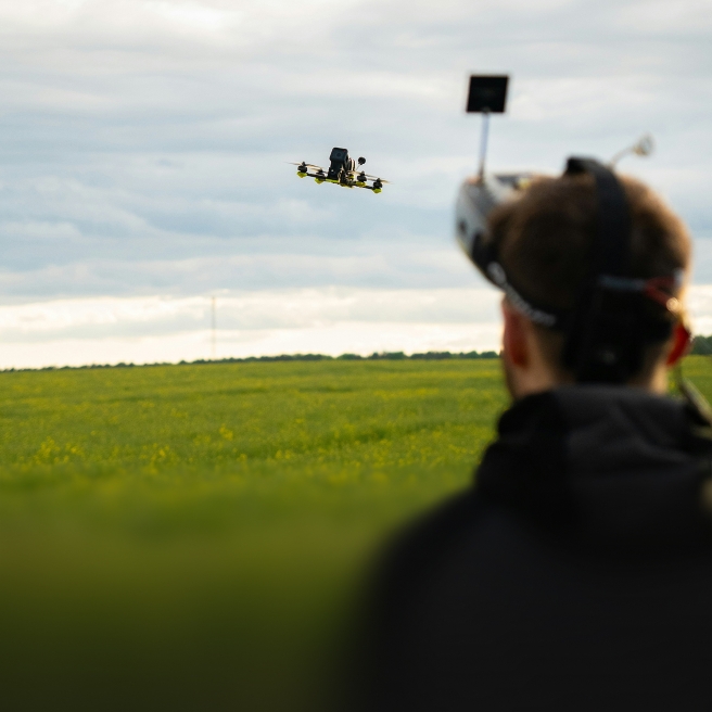
Training & Advisory

Flight training & technology integration consulting
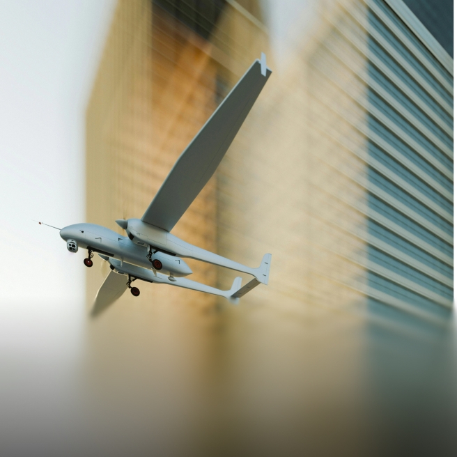
Technology & Systems Integration

Advanced C2 Infrastructure for Multi-Platform UAS Operations

Partners

The Sentinel ecosystem: capabilities through trusted partners

Our reach

Global UAS operational support

Sentinel supports all aspects of UAS operations
Poland
United Kingdom
italy
kosovo
ireland
Saudi Arabia
Mozambique
Mexico
Nigeria

FAQ

01
What services does Sentinel Flight provide?

We deliver comprehensive aerial intelligence solutions spanning surveys, digital twins, disaster mapping, cinematography and marketing content, intelligence gathering, and advanced data analytics. From crop health assessment to infrastructure inspection and security operations, Sentinel combines state-of-the-art drone technology with expert analysis to unlock actionable insights from the sky.

02
What industries do you work with?

Our expertise spans every major sector—agriculture and forestry, commercial real estate, critical infrastructure, public safety, defence, emergency response, and industrial operations. Whatever your industry, our aerial data solutions help drive more efficient, cost-effective decisions.

03
Are your drone operations fully licensed and insured?

Absolutely. We take pride in our institutional approach to safety and compliance. Our pilots hold full CAA approvals, and many are certified SAR (Search & Rescue) pilots and/or CAA-approved flying instructors. We operate under comprehensive insurance and maintain the highest regulatory standards.

04
What deliverables can I expect from a survey?

You'll receive a full suite of professional outputs: high-resolution aerial imagery, multispectral analysis, thermal data (where applicable), precise mapping and measurements, 3D models and point clouds, and customised reports tailored to your needs. Everything you need to make informed decisions.

05
How quickly can a project be completed?

With multiple aircraft and teams on standby, Sentinel can mobilise rapidly to meet tight deadlines. Most surveys can be executed within days—sometimes hours for urgent operations. We'll work with you to understand your timeline and deliver without compromise on quality.

Engineering-grade aerial data, delivered with confidence.

Work with us